
Diferencia entre revisiones de «Old Map of San Mateo 1896.jpg»
De EnciclopediaGuanche
| Línea 9: | Línea 9: | ||
[[Category:Vega de San Mateo]] | [[Category:Vega de San Mateo]] | ||
| − | + | ||
{{GFDL}} | {{GFDL}} | ||
{{cc-by-sa-2.5}} | {{cc-by-sa-2.5}} | ||
Revisión actual del 11:32 20 ago 2015
| Description |
Old Map of Vega de San Mateo, Gran Canaria (Canary Islands, Spain). Map of 1896. |
|---|---|
| Source |
self-made from Image:Gran Canaria & Las Palmas City & Las Palmas Province Old Map 1896.jpg |
| Date |
2007-05-23 |
| Author | |
| Permission |

|
Permission is granted to copy, distribute and/or modify this document under the terms of the GNU Free Documentation License, Version 1.2 or any later version published by the Free Software Foundation; with no Invariant Sections, no Front-Cover Texts, and no Back-Cover Texts. A copy of the license is included in the section entitled "GNU Free Documentation License". |
Historial del archivo
Haz clic sobre una fecha y hora para ver el archivo tal como apareció en ese momento.
| Fecha y hora | Miniatura | Dimensiones | Usuario | Comentario | |
|---|---|---|---|---|---|
| actual | 21:10 16 jul 2007 | 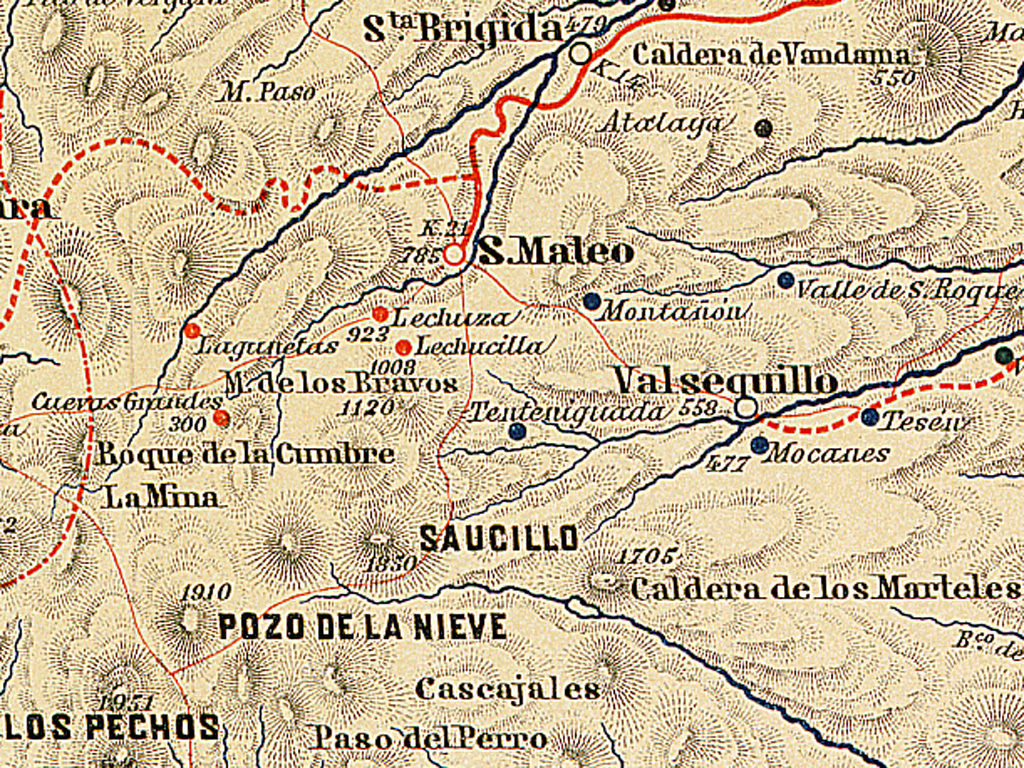 | 1024 × 768 (740 kB) | Mencey (discusión | contribs.) | {{Information |Description=Old Map of Vega de San Mateo, Gran Canaria (Canary Islands, Spain). Map of 1896. |Source=self-made from Image:Gran Canaria & Las Palmas City & Las Palmas Province Old Map 1896.jpg |Date=2007-05-23 |Author= [[User:Pepelopex| |
No puedes sobrescribir este archivo.
Usos del archivo
Las siguientes páginas usan este archivo: